Every building in CPH Drive now has an address
How the 2011 city model was matched to today’s building footprints, so demolished blocks are gone, new districts stand and every building knows what it is.
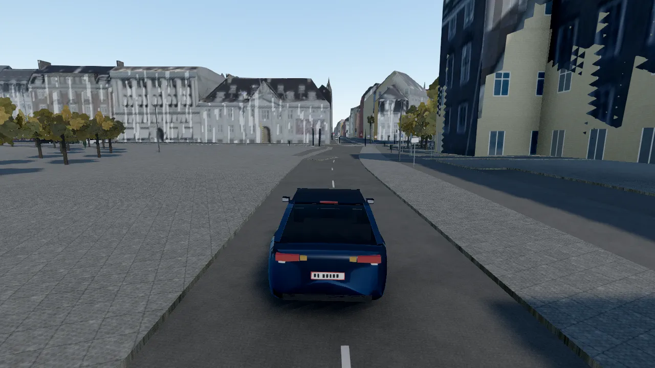
The buildings in CPH Drive start as Københavns Kommune’s 3D city model. It is detailed and it is free, but it is a snapshot: the model dates from 2011, and Copenhagen has not stood still since.
So the game now checks the model against the city as it is registered today.
One record per building
Every GeoDanmark building footprint gets its own record, 96,384 of them. Each record joins the national building register (BBR) to the footprint: what the building is used for, how many storeys it has, when it was built, what its walls and roof are made of, whether it is listed, and its address. Heights and a roof shape come from the national elevation model.
Every vertex of every building drawn in the game carries the number of its record. The game always knows which building you are looking at.
Matching 2011 to today
Of the 87,108 footprints inside Copenhagen:
- 73,092 are covered by the 2011 model.
- 6,579 are new since then, and 370 have been rebuilt.
- 12,295 pieces of the old model, with 0.81 km² of roof between them, have been demolished.
The demolished pieces are removed. Where that leaves a neighbour open, you see a blank party wall, as you would in the street. The new and rebuilt buildings are raised from their surveyed footprints at their measured heights.
That is why Carlsberg Byen, Kalvebod Brygge, Papirøen and Krøyers Plads stand in the game the way they stand in the city.
What it changes behind the wheel
The register facts drive what you see. Storeys set the rows of windows, wall material and age set the facade colour, roof material sets the roof, and the shops mapped at street level get shopfronts.
It is the same rule as the rest of the game: nothing invented, and every building where the register says it is.