How a city becomes a game
CPH Drive has one rule: nothing is invented. If a street, a tree or a lamp post is in the game, it is because an official survey or an open map says it is there.
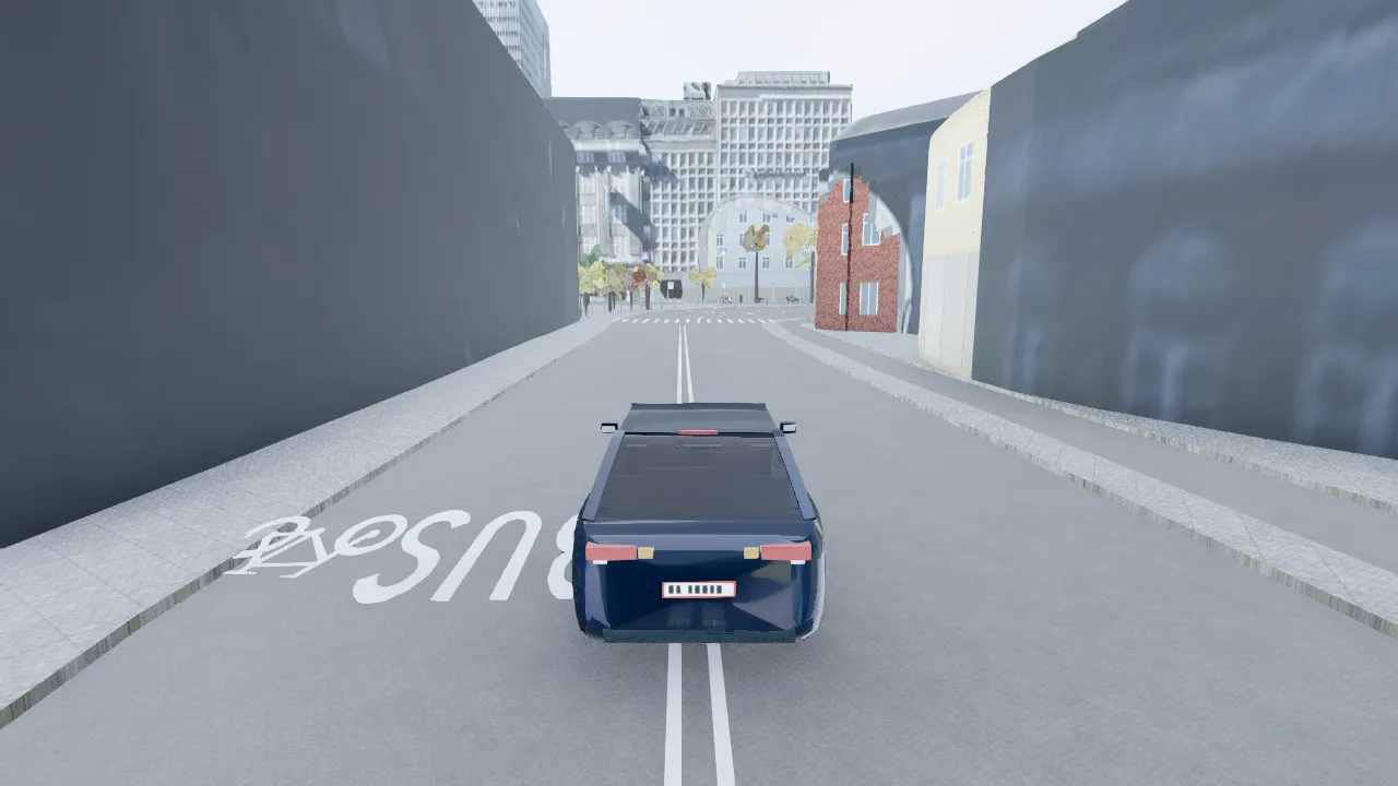
Survey the streets
Kerbs, carriageway, road paint, speed bumps and traffic islands are traced from Københavns Kommune’s survey, on top of the OpenStreetMap road graph with its one-way streets and speed limits. The result is cut into 154 chunks of 500 m.
Raise the buildings
The municipal 3D city model is matched to today’s GeoDanmark footprints, so demolished blocks are gone and new districts stand. Each of the 96,384 footprints carries its register facts: storeys set the rows of windows, wall material and age set the facade colour.
Measure the green
31,781 tree crowns are measured from Danmarks Højdemodel, the national elevation model, and change colour with the season. The ground itself follows the DVR90 terrain.
Fill the streets
Cars and buses follow the city’s traffic counts from 212 stations by the hour, cyclists its bike counts, and buses the Rejseplanen timetable. Parked cars fill the mapped parking at the counted occupancy.
Run it in the browser
Three.js draws the city and Rapier runs the car physics at 60 steps a second in a Web Worker, so the simulation never waits for a frame. Chunks stream in around the car and out behind it.
Plug in the live city
At run time the game asks DMI for the weather, follows aircraft around Kastrup, reads Vejdirektoratet’s traffic alerts, and tunes the car radio to DR.
The data, and its licences
| Source | What the game uses | Licence |
|---|---|---|
| Københavns Kommune open dataCity of Copenhagen | Surveyed kerbs, carriageway, road paint, trees, lighting masts, signals, signs, bus stops, parking, cycle routes and traffic counts. | CC BY 4.0 |
| Copenhagen 3D city modelCity of Copenhagen | The building geometry of the inner city, reconciled with today’s footprints. | CC BY 4.0 |
| DatafordelerKlimadatastyrelsen | BBR building facts, GeoDanmark footprints, the DHM elevation model, Skråfoto aerial photos and Danish place names. | CC BY 4.0 |
| OpenStreetMapOpenStreetMap contributors | The road network, speed limits, one-way streets, shops, restaurants and sights. | ODbL 1.0 |
| DMIDanish Meteorological Institute | Live weather observations, with MET Norway for the forecast. | DMI open data |
| RejseplanenRejseplanen A/S | Bus lines, stops and the weekday timetable. | CC BY 4.0 |
| VejdirektoratetDanish Road Directorate | Live traffic alerts and road works. | Open data |
| OpenSky NetworkOpenSky Network | Live aircraft over the city. | OpenSky terms |
| DRDanmarks Radio | Live Danish radio in the car, streamed and never stored. | Public broadcast streams |
The full list, with every dataset and the tool that processes it, is in the game’s data sources document.