Cruise
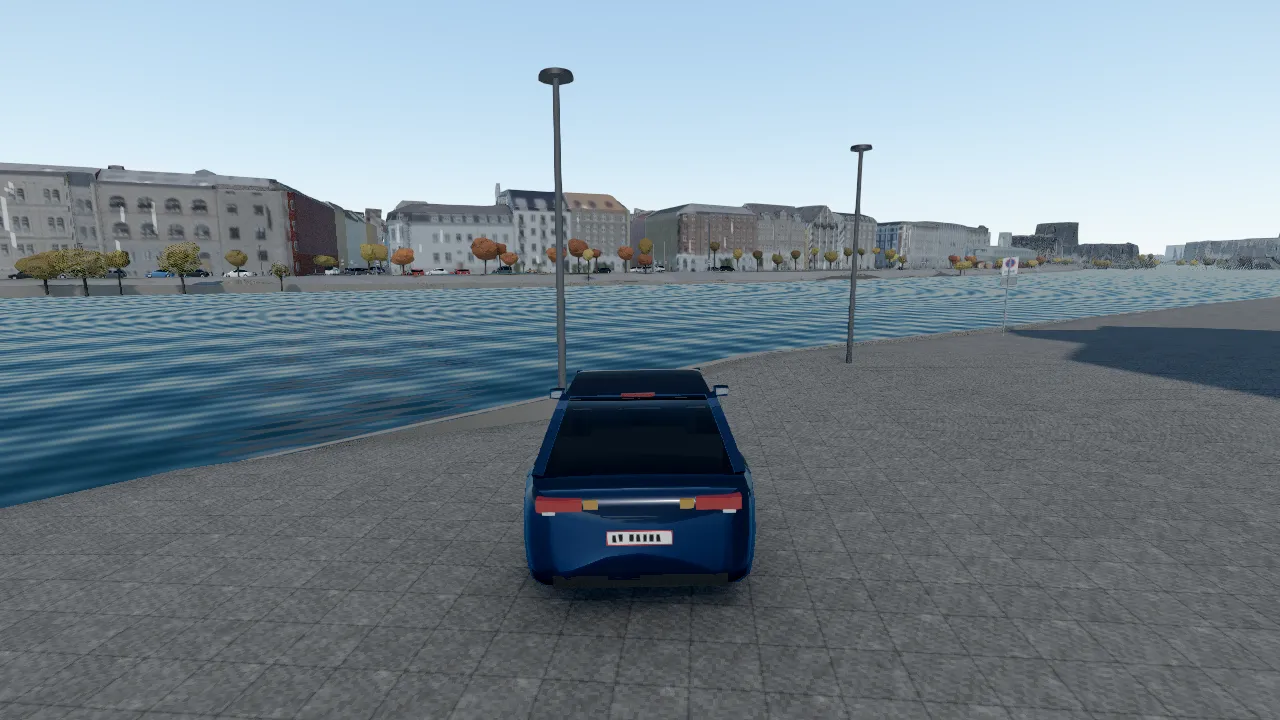
Seven districts streamed around you as you drive, from the canals of Christianshavn to the allées of Frederiksberg. Cross the harbour, find your own street, chase the low sun down Nyhavn.
A free open-world driving game in your browser. Every kerb, lamp post and tree is where the city’s own survey puts it, and the sky outside is today’s Danish weather.
No download, no account. Needs a keyboard and a desktop browser.
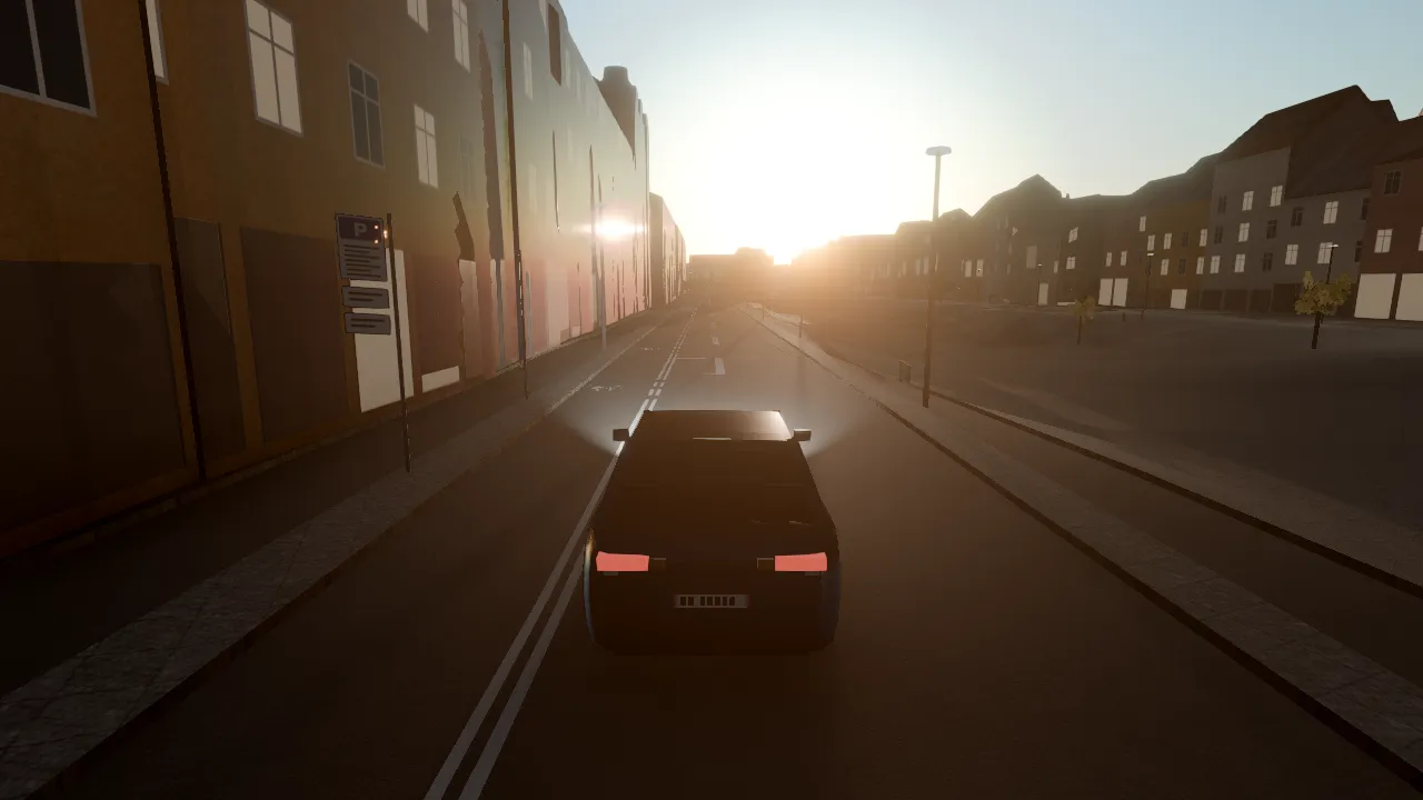
N changes the hour, like in the game. Every frame is a real screenshot.
Cruise with no goal, earn your keep with fares and deliveries, or sit back and let the car drive.
Seven districts streamed around you as you drive, from the canals of Christianshavn to the allées of Frederiksberg. Cross the harbour, find your own street, chase the low sun down Nyhavn.
Taxi rides from stations, hotels and sights, and food deliveries from real restaurants. Turn-by-turn directions over the real one-way streets, a timer, and a fare based on Copenhagen taxi tariffs.
Run a red light or a speed camera and the fine is a real Danish one.
Self-driving follows the road graph, keeps between the kerbs and stops at red. Take the wheel back the moment you touch a key.
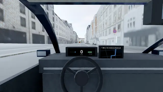
Press C for the cockpit: a live instrument cluster, a navigation screen and the wipers when it rains.
The map is the inner city at 1:1, about 7 × 4.7 km, built from the same registers the municipality uses to run it.
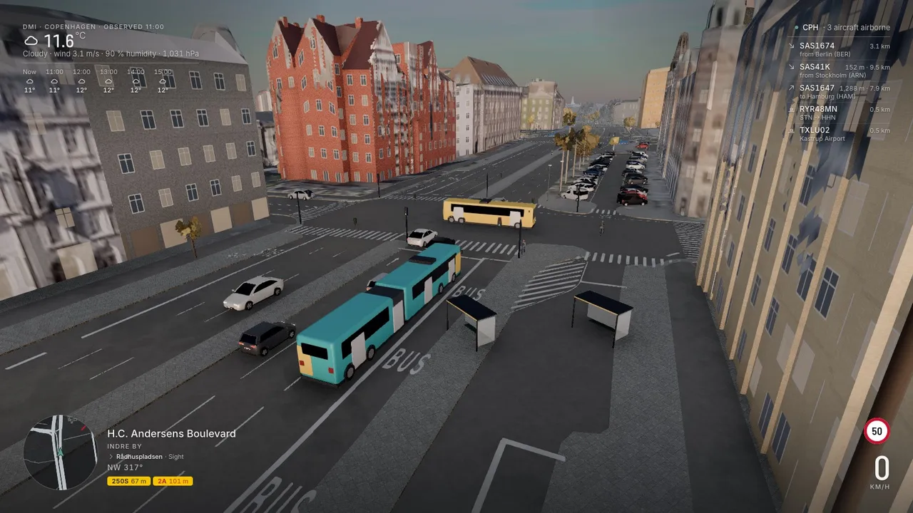
Open the game at eight on a weekday morning and H.C. Andersens Boulevard is queuing. Come back at three in the morning and you have it to yourself.
Each has its own character behind the wheel. Pick one to see what to drive past.
Everything is on the keyboard. Esc opens the menu for the clock, the weather and the camera.
No invented streets. The game is assembled from public registers and open maps, each used under its licence.
Yes. It runs in your browser with nothing to install and no account to make.
A desktop or laptop with a keyboard and a recent Chrome, Edge, Firefox or Safari. The game uses WebGL2. Phones and tablets are not supported yet, because there are no touch controls.
It is the inner city at 1:1 scale: Indre By, Christianshavn, Vesterbro, Nørrebro, Østerbro, Islands Brygge and Frederiksberg, about 7 by 4.7 km. Streets, kerbs, road paint, trees, lamps, signals and buildings all come from official surveys and open maps.
By default, yes. The sky follows the current observation from DMI, the Danish Meteorological Institute, and the sun is placed for Copenhagen’s latitude, date and time. You can also pick the hour and the weather yourself.
Drive freely, take taxi fares and food deliveries with turn-by-turn directions and a timer, or switch on self-driving and watch the car follow the road, the lanes and the signals. Red lights and speed cameras cost real Danish fines.
Yes, as in Denmark. Speed limits come from the mapped limits on each street, and the traffic around you follows counted car and bike traffic for the hour of the day.
The sources are open and listed on the How it’s made page with their licences. Some of the processed layers, such as the photo mesh and the orthophoto, are being packaged as datasets of their own.