ØsterbroKøbenhavn Ø
Drive Østerbro
Wide boulevards, parks and calm residential streets north of the lakes.
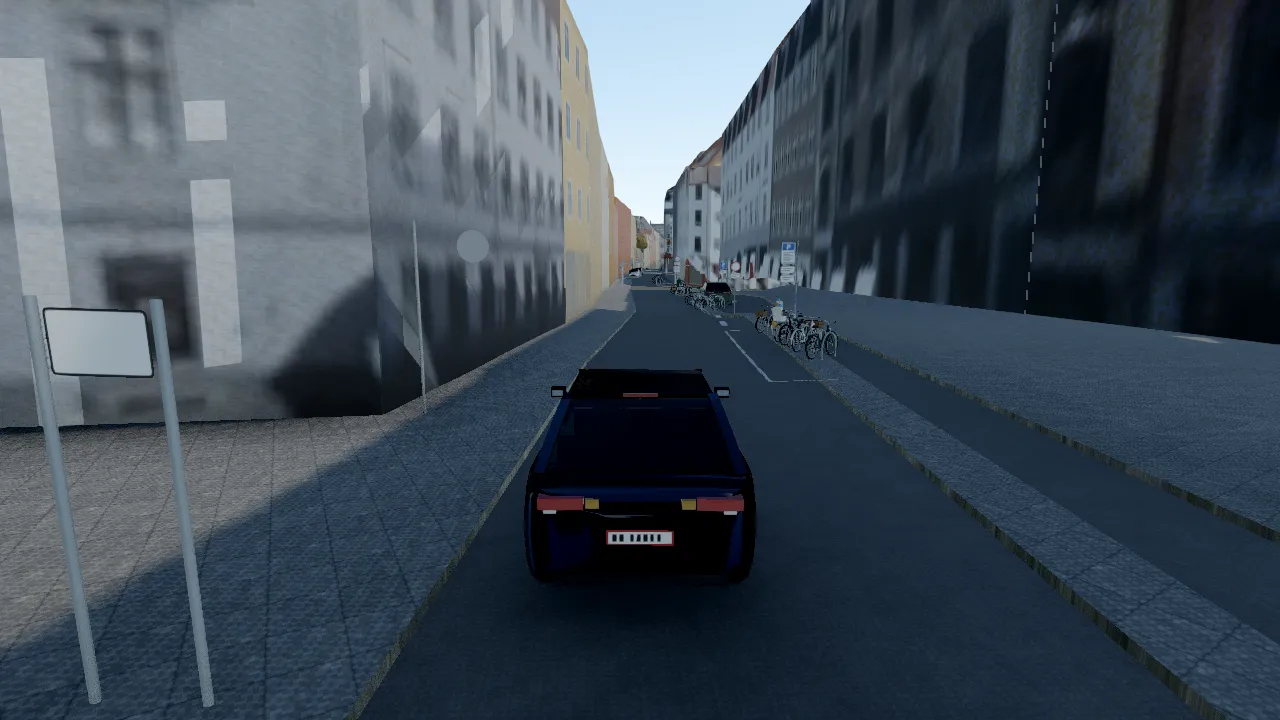
Østerbro is the roomy side of the city: broad avenues, big parks and tidy residential blocks. It is a good place to learn the car before you take a fare in the centre.
The 31,781 trees across the map are measured from the city’s elevation model, so park edges and avenues have their real crowns, and they change colour with the season.
What you drive past
- FælledparkenThe city’s biggest park, ringed by roads.
- TrianglenThe triangle junction where Østerbro’s main streets meet.
- ØsterbrogadeThe long shopping street running north from the lakes.
- KastelletThe star-shaped fortress at the harbour edge.